Research
Connecting physics, food webs and decisions
My work runs from building ocean and ecosystem models to using them, and other spatial science, in the hands of managers and partners.
PhD · 2018–present
End-to-end modelling of the Salish Sea
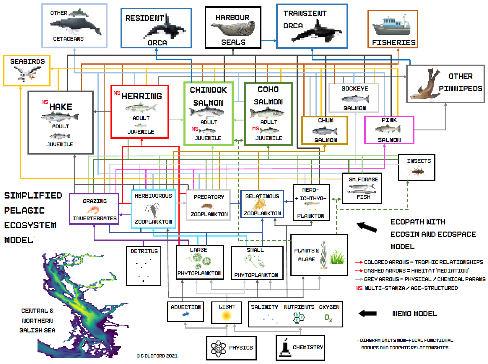
Survival of juvenile coho and Chinook salmon in the Strait of Georgia fell sharply from the 1980s onward, and the cause is still debated. Was it less food at the right time, more predators such as harbour seals, or both acting together?
The Strait of Georgia Ecosystem Model (SOGEM) is my answer to how we test that. It is a family of linked models: a NEMO ocean hindcast (HOTSSea) drives a spatial plankton model (SOGEM-LTL, Ecospace), which feeds an upper-trophic food web (SOGEM-UTL, Ecopath with Ecosim) covering forage fish, salmon life stages, seabirds, seals and killer whales. The coupled system (SOGEM-E2E) runs counterfactual experiments on the relative roles of bottom-up prey availability and top-down predation.
The work is part of the Salish Sea Marine Survival Project and my PhD in the Global Ocean Modelling Lab at UBC.
Ocean physics · 2020–2025
HOTSSea: forty years of Salish Sea physics
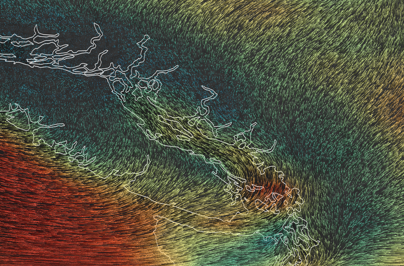
Ecosystem models need a long, consistent physical record, and none existed for the Salish Sea before 2018. I built one. HOTSSea v1 is a NEMO-based hindcast at 1.5 km resolution, forced by atmospheric reanalysis and river discharge, and evaluated against decades of observations. It is published in Geoscientific Model Development (2025), with the code and support tools released openly.
Marine planning · 2014–2026
Great Bear Sea MPA network
Between 2014 and 2023 I worked as a federal scientist and planner on the marine protected area network for the Northern Shelf Bioregion, now the Great Bear Sea, a collaboration among 17 First Nations, the Province of British Columbia and the Government of Canada, with industry and stakeholders. On behalf of DFO I co-chaired the intergovernmental Tech-Data Subgroup, coordinated the inventory of spatial data, and helped scope the analyses that measured how well existing and proposed protection met conservation objectives.
The network action plan was endorsed in 2023, and the team received the DFO Prix d’Excellence and a BC Premier’s Award. The technical basis of the representation work is now in press in Ecological Applications (2026).
Freshwater · 2008–present
River connectivity and FIPEX
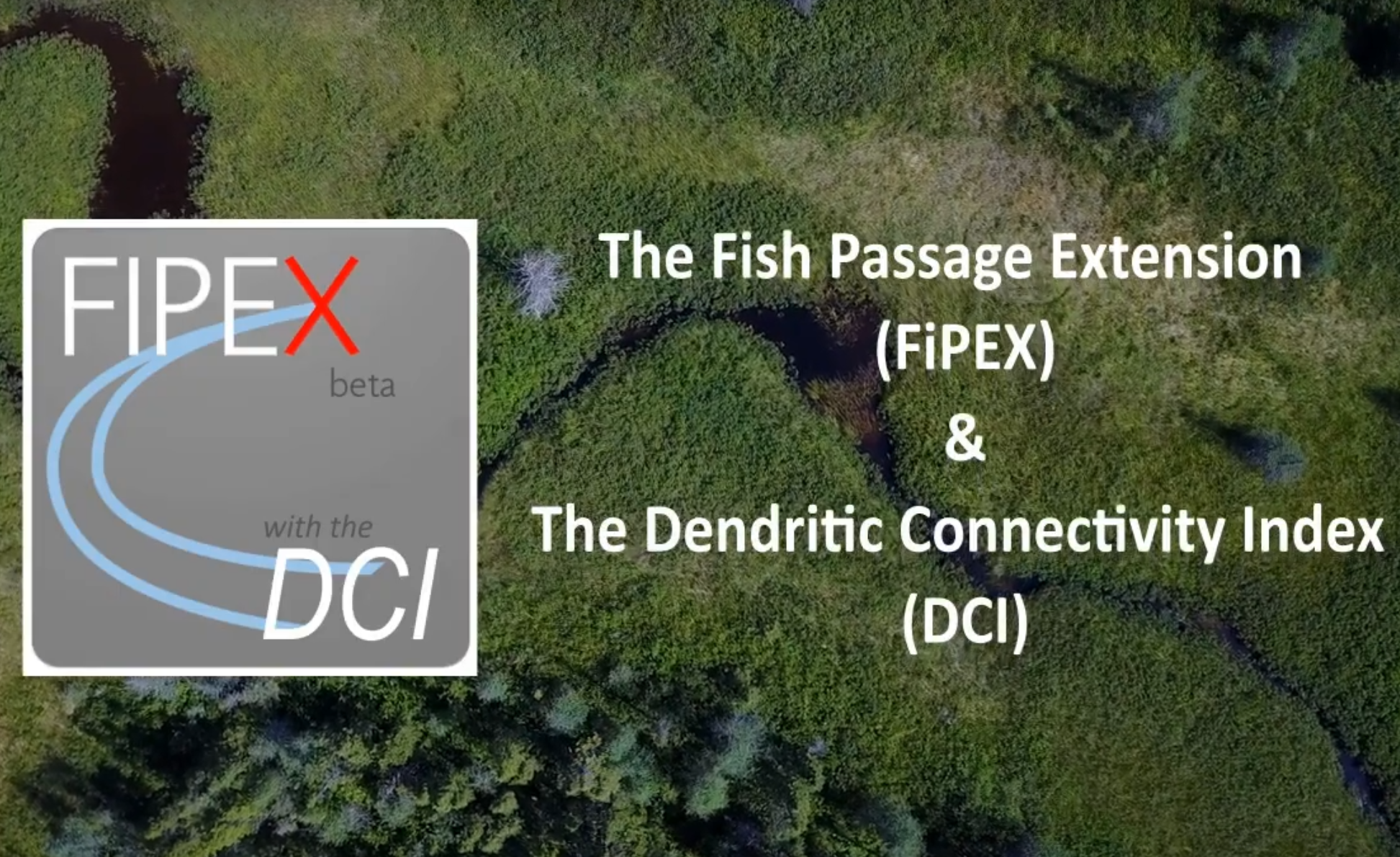
Rivers are networks, so one barrier can cut off a whole watershed upstream. The Fish Passage Extension (FIPEX) with the Dendritic Connectivity Index (DCI) helps managers see the cumulative effect of dams and culverts and decide which to fix first. I have led its development since 2009, from my master’s research on spatial optimisation of restoration through versions used by DFO, Parks Canada and Memorial University.
Collaboration · 2020–2022
Burrard Inlet shoreline and marine planning
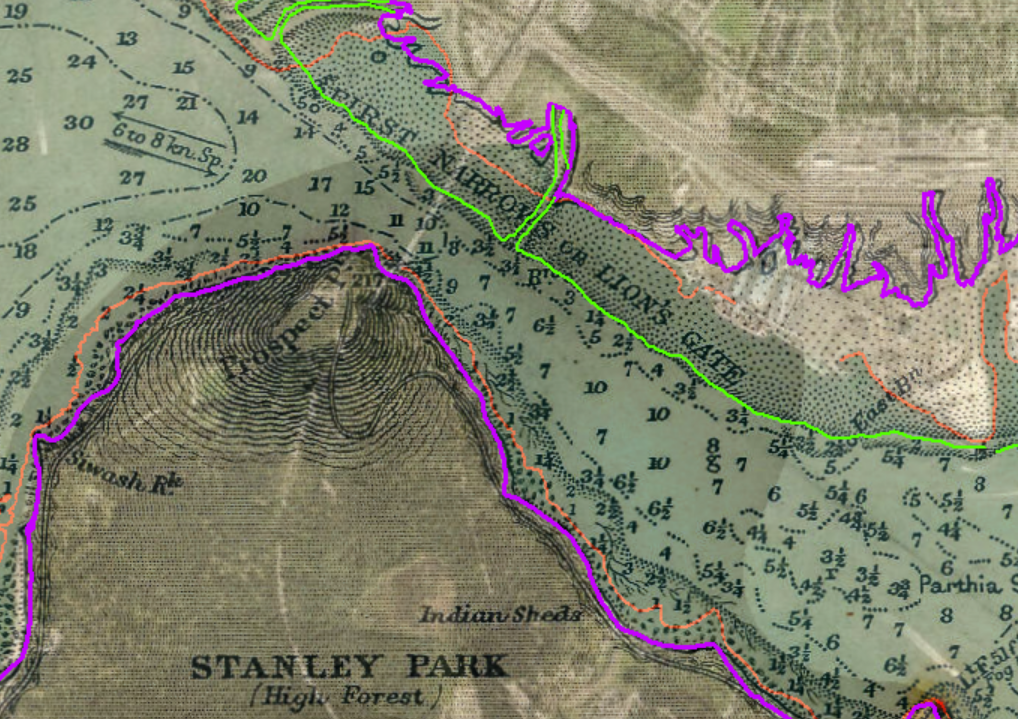
Tsleil-Waututh Nation led a project to reconstruct the pre-European-contact shoreline and intertidal zone of Burrard Inlet. I helped with cartography and with bringing the knowledge of Tsleil-Waututh knowledge holders together with archival data in GIS, and co-authored the report. With a team of graduate students I also produced an interactive story map on the technical side of marine spatial planning in the inlet.
Open code